Support and commercial development of your climate services based on the use of spatial data
SCALE by Aerospace Valley
Discover SCALE
THE TOPICS :
Agriculture
In the agricultural sector, space applications can be used to optimize the use of chemical inputs, which are sources of greenhouse gases, as well as the use of water. SCALE offers solutions for the agricultural sector, to help farmers and winegrowers make the ecological transition.
Biodiversity
Spatial data can be used to measure and monitor changes in terrestrial or marine biodiversity, or to map islands of freshness in urban areas and guide revegetation policies.
Whether you're a forester, nature park manager or local authority, SCALE's solutions for preserving biodiversity may be of interest to you.
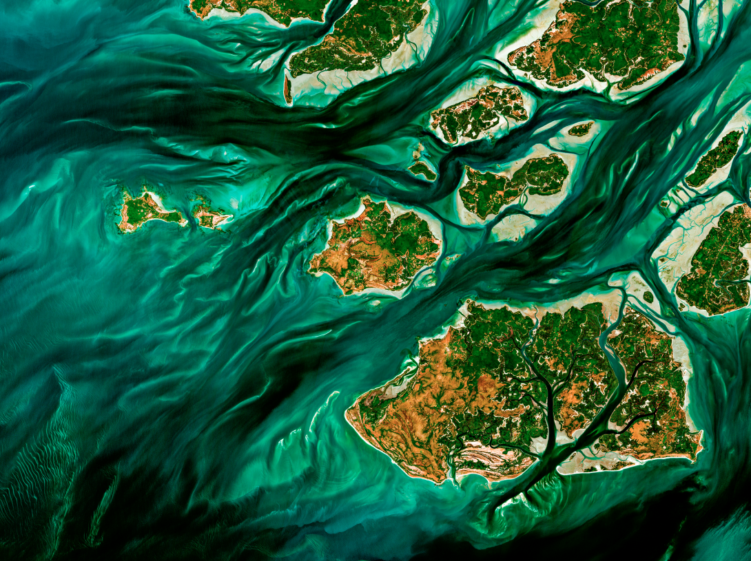
Water
By combining meteorological, hydrological, altimetry and satellite imagery data, space applications are invaluable tools for water management and irrigation. They can be used to track the quantity and quality of water bodies, monitor surface waters and watercourses, or provide recommendations on the amount of water to be used on a daily basis for an agricultural plot.
Whether you are a Ministry, a Water Agency, a Regional or Departmental Chamber of Agriculture, an Etablissement Public Territorial de Bassin (EPTB) or an agricultural structure (cooperative, etc.), there are solutions to meet your needs.
Renewable energies
In the energy sector, space applications can be used to optimize the siting of photovoltaic panels, taking into account criteria such as sunlight potential and land use. Others can monitor energy production in real time and establish ultra-precise production projections. Photovoltaic operators, energy suppliers...
Air quality
Thanks to satellites, it is now possible to locate and quantify emissions of certain greenhouse gases such as methane and nitrogen. CO2 will soon join this list with the launch of the Microcarb satellite. Solutions are proposed within the collective and provide an analysis of greenhouse gas emissions.
Risk management
In the field of risk management, space applications can, for example, assess the risk of flooding in real time and alert decision-makers and citizens via a cellular system. Others enable damage to be assessed rapidly after a disaster, to speed up reimbursement procedures for disaster victims, or to assess long-term risks. Local authorities, government agencies... solutions are available from SCALE.
CONTACT